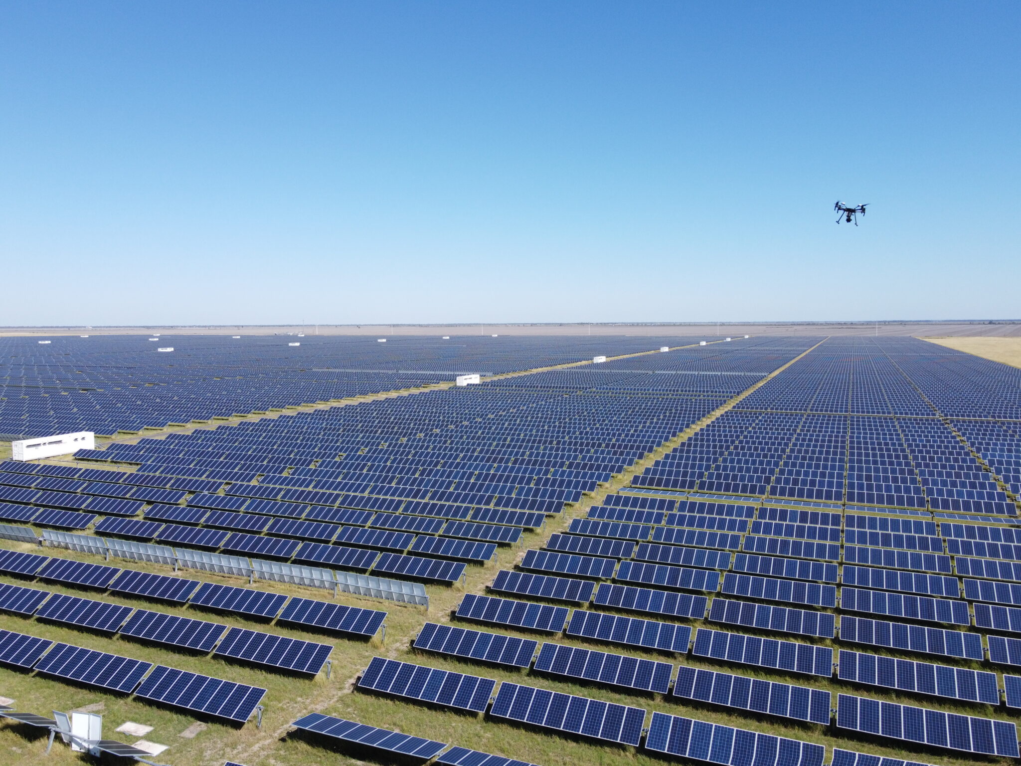
Aerospec recently had the opportunity to speak with one of our very experienced drone pilot partners Danny Elassad, who had just completed an aerial inspection of a 70MW Solar Farm in New South Wales, Australia. We sat down with Danny to talk about what kind of preparations and strategies he uses to capture high-quality aerial data, as well as his thoughts on the upcoming Aerospec pilot app after putting it to the test in the field.
What preparations did you make prior to arriving on-site?
“Prior to arriving on site, we conducted a test flight using the XT2 and Aerospec app to make sure our hardware and software were all compatible. After chatting about the specifics of the flights, an online video conference, and charging A LOT of batteries, I was off to the site.”
What hardware did you use?
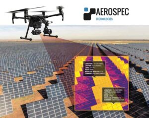
“We used DJI M210 RTK, equipped with the XT2 dual thermal and RGB camera”.
Editor’s note: for a list of compatible drones and camera specifications, please feel free to send us an inquiry at info@aerospec.us
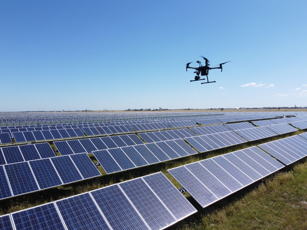
How large is the site you were inspecting?
“70MWp.”
How long did the inspection take?
“The Inspection took us just shy of 3 days in total, we could have finished it in 2 days but we had a minor hiccup on the first day. Thankfully the weather conditions were ideal for those 3 days.”
Editor’s note: On average, pilots using the Aerospec app can complete between 30 – 50MW/day.
What were the biggest challenges in the inspection?
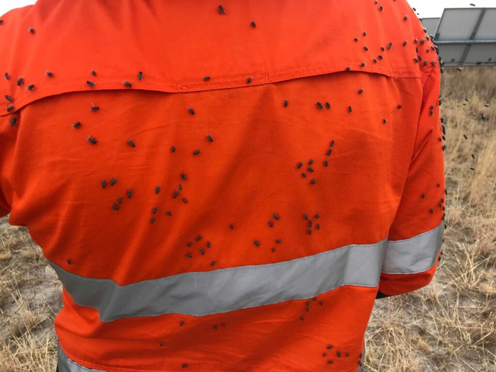
“The flies! I’ve never seen so many flies in my life. All jokes aside, the biggest challenge would have been juggling the data onsite while continuing the missions and making sure we had all the appropriate files, thankfully my partner is a master of data management.”
What were the procedures you undertook once you are onsite to ensure the best data capture conditions?
“Aside from checking the mission parameters (altitude and speed); keeping the lenses clean since there was a lot of debris flying around on take-off and landing. Aerospec’s support team also pointed out to me that there is a setting to correct the flight path if need be that I will be able to utilize for future projects.”
What were some unexpected (pleasant or unpleasant) events that happened during the project?
“One of the unexpected events that occurred on the first day (the hiccup I mentioned earlier) was a setting called MSX on the XT2 that was meant to be turned off before the missions, but this was unknown to us as the XT2 is a new bit of gear. Thankfully the issue was rectified asap and didn’t cost us too long in delays.”
How did the Aerospec app aid in making inspection faster/easier?
“The Aerospec app just works well, no issues. The files are saved into the correct directories, the flight plans are very easy to work with, and it works seamlessly with the DJI pilot app for when I needed to adjust the settings”
How was the Aerospec app compared to other apps you had worked with? Would you recommend Aerospec’s app to others for solar farm data acquisitions?
“I’d 100% recommend the Aerospec app, it made my life so much easier while onsite, and if I ever had any issues the guys helped me out straight away to get us back up in the air.”
Aerial inspection software is a valuable tool in solar farm data acquisition. With the proper preparations, it can save time and money on inspection, while also providing powerful data to help optimize solar farm operations. Learn more about how Aerospec’s intuitive platform can aid in your next inspection by scheduling a demo today.

